
GitHub
Overview
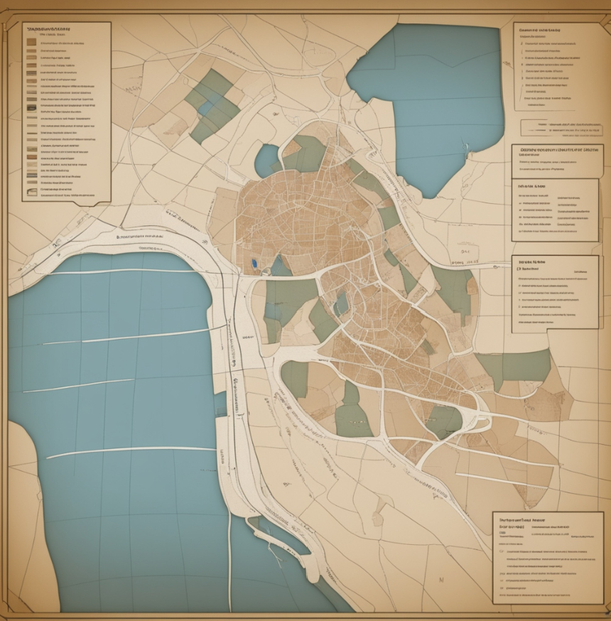
Mapping analysis involves the examination and interpretation of spatial data to identify patterns, relationships, and trends within geographic areas. This process often utilizes geographic information system (GIS) technology, which allows for the visualization and analysis of data on maps.
One key aspect of mapping analysis is the representation of various data layers, such as demographic information, land use, environmental factors, or socio-economic indicators, as overlays on a map. This integration of diverse datasets enables analysts to gain insights into the spatial distribution of phenomena and make informed decisions based on geographical patterns.
How it works
The process of mapping analysis typically begins with the acquisition of relevant spatial data, which can include satellite imagery, aerial photographs, GPS data, or other geospatial datasets. Once the data is collected, it is organized and manipulated using GIS software, allowing analysts to create thematic maps that highlight specific features or relationships.
Spatial analysis tools within GIS enable the identification of clusters, hotspots, spatial correlations, and other spatial patterns. This information is valuable in fields such as urban planning, environmental science, epidemiology, and resource management, where understanding the spatial dimension of data is crucial for informed decision-making. Overall, mapping analysis is a powerful tool for visualizing and interpreting spatial data, providing valuable insights into the complex relationships that exist within geographic contexts.